 vesseltracker.com
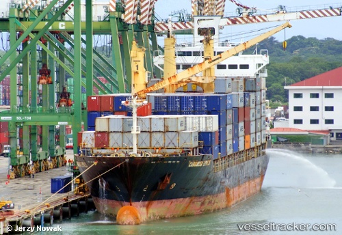
 MSC KAVYA II
Current Status
Where is the vessel?
MSC KAVYA II is currently in 109 nm W of Yetagun Field, based on AIS data received less than 1h ago.
Latest AIS update:
Current position: 12.84893° N, 94.99671° E (109 nm W of Yetagun Field)
Average speed (last 7 days): Loading…
Average speed (last 30 days): Loading…
Vessel profile: MSC KAVYA II is a Container Ship with dimensions m x m.
This page combines live AIS, route history, probable destination signals, nearby traffic, and port activity for practical vessel monitoring.
The current position of vessel MSC KAVYA II is 12.84893 lat / 94.99671 lng. Updated: 2026-05-18 01:33:17 UTCNearest reference points:
- 84 nm NW of Yetagun Field
- 126 nm S of Yetagun Field
- Near Port Blair
Currently sailing under the flag of Liberia ![]()
Details:
Live Vessel MSC KAVYA II Analytics (details, animations, etc.)
Recent AIS points (UTC):
2026-05-17 22:28:48 UTC · 12.28254, 95.28753 · SOG 12.3 kn · COG 330°2026-05-17 23:56:28 UTC · 12.54500, 95.14540 · SOG 12.1 kn · COG 333°
2026-05-18 01:08:38 UTC · 12.76935, 95.02997 · SOG 12.8 kn · COG 338°
2026-05-18 01:33:17 UTC · 12.84893, 94.99671 · SOG 12.6 kn · COG 337°