 vesseltracker.com
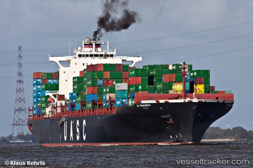
 AL MANAMAH
Current Status
Where is the vessel?
AL MANAMAH is currently in 280 nm SE of Bald Rock, based on AIS data received less than 1h ago.
Latest AIS update:
Current position: 40.54518° N, 60.12621° W (280 nm SE of Bald Rock)
Average speed (last 7 days): Loading…
Average speed (last 30 days): Loading…
Vessel profile: AL MANAMAH is a Container Ship with dimensions m x m.
This page combines live AIS, route history, probable destination signals, nearby traffic, and port activity for practical vessel monitoring.
The current position of vessel AL MANAMAH is 40.54518 lat / -60.12621 lng. Updated: 2026-04-26 05:55:42 UTCNearest reference points:
- 260 nm W of Jonesville
Currently sailing under the flag of Liberia ![]()
Details:
Live Vessel AL MANAMAH Analytics (details, animations, etc.)
Recent AIS points (UTC):
2026-04-26 02:10:24 UTC · 40.64018, -58.57323 · SOG 18.7 kn · COG 256°2026-04-26 04:24:12 UTC · 40.57569, -59.49990 · SOG 19 kn · COG 268°
2026-04-26 04:29:05 UTC · 40.57395, -59.53367 · SOG 18.9 kn · COG 269°
2026-04-26 05:55:42 UTC · 40.54518, -60.12621 · SOG 18.8 kn · COG 272°