 vesseltracker.com
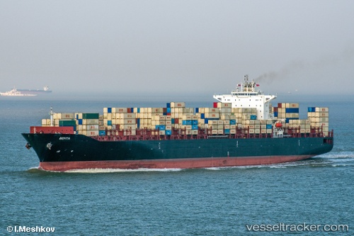
Behta
Current StatusWhere is the vessel?
Behta is currently in 20 nm E of Shadi, based on AIS data received less than 1h ago.
Latest AIS update:
Current position: 21.48971° N, 113.12134° E (20 nm E of Shadi)
Average speed (last 7 days): Loading…
Average speed (last 30 days): Loading…
Vessel profile: Behta is a Container Ship with dimensions 40m x 299m.
This page combines live AIS, route history, probable destination signals, nearby traffic, and port activity for practical vessel monitoring.
The current position of vessel Behta is 21.48971 lat / 113.12134 lng. Updated: 2026-04-28 11:54:52 UTCNearest reference points:
- 15 nm S of Gaolan
- Near Gaolan
- Near Shadi
Details:
Live Vessel Behta Analytics (details, animations, etc.)
Recent AIS points (UTC):
2026-04-28 08:24:51 UTC · 21.49009, 113.12163 · SOG 0 kn · COG 141°2026-04-28 10:03:51 UTC · 21.49021, 113.12177 · SOG 0.1 kn · COG 144°
2026-04-28 10:51:52 UTC · 21.49040, 113.12215 · SOG 0 kn · COG 157°
2026-04-28 11:54:52 UTC · 21.48971, 113.12134 · SOG 0.1 kn · COG 124°