 vesseltracker.com
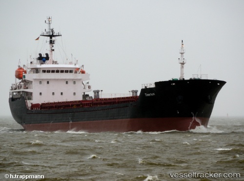
 ALTAY
ALTAY
Current Status
Where is the vessel?
ALTAY is currently in 22 nm S of Sant'Anna Arresi, based on AIS data received less than 1h ago.
Latest AIS update:
Current position: 38.65740° N, 8.46821° E (22 nm S of Sant'Anna Arresi)
Average speed (last 7 days): Loading…
Average speed (last 30 days): Loading…
Vessel profile: ALTAY is a Bulk Carrier with dimensions m x m.
This page combines live AIS, route history, probable destination signals, nearby traffic, and port activity for practical vessel monitoring.
The current position of vessel ALTAY is 38.65740 lat / 8.46821 lng. Updated: 2026-05-14 08:24:49 UTCNearest reference points:
- Near CARLOFORTE
- Near SARROCH
- Near Cagliari
Currently sailing under the flag of Tuvalu ![]()
Details:
Live Vessel ALTAY Analytics (details, animations, etc.)
Recent AIS points (UTC):
2026-05-14 04:29:29 UTC · 38.71545, 7.62594 · SOG 9.6 kn · COG 98°2026-05-14 05:43:48 UTC · 38.69097, 7.88172 · SOG 10.1 kn · COG 96°
2026-05-14 07:59:58 UTC · 38.66333, 8.37500 · SOG 10 kn · COG -1°
2026-05-14 08:24:49 UTC · 38.65740, 8.46821 · SOG 10.5 kn · COG 96°