 vesseltracker.com
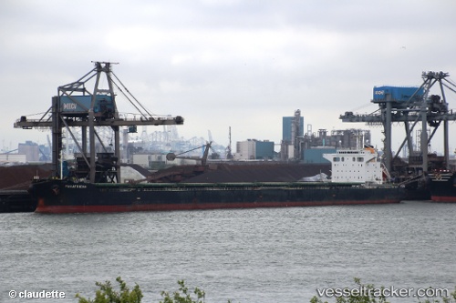
 Panafrican
Current Status
Where is the vessel?
Panafrican is currently in 11 nm S of Kumport, based on AIS data received less than 1h ago.
Latest AIS update:
Current position: 40.78397° N, 28.89778° E (11 nm S of Kumport)
Average speed (last 7 days): Loading…
Average speed (last 30 days): Loading…
Vessel profile: Panafrican is a Bulk Carrier with dimensions 229m x 32m.
This page combines live AIS, route history, probable destination signals, nearby traffic, and port activity for practical vessel monitoring.
The current position of vessel Panafrican is 40.78397 lat / 28.89778 lng. Updated: 2026-05-16 14:02:58 UTCNearest reference points:
- 10 nm SE of Kumport
- Near Kumport
- 14 nm SW of Maltepe
Currently sailing under the flag of Marshall Is ![]()
Panafrican built in 2008 year
Deadweight:
83690 tDetails:
Live Vessel Panafrican Analytics (details, animations, etc.)
Recent AIS points (UTC):
2026-05-16 10:59:56 UTC · 40.80198, 28.92434 · SOG 0.3 kn · COG 4°2026-05-16 11:55:14 UTC · 40.79628, 28.92034 · SOG 0.5 kn · COG 312°
2026-05-16 13:32:55 UTC · 40.78592, 28.90349 · SOG 0.6 kn · COG 359°
2026-05-16 14:02:58 UTC · 40.78397, 28.89778 · SOG 0.4 kn · COG 20°