 vesseltracker.com
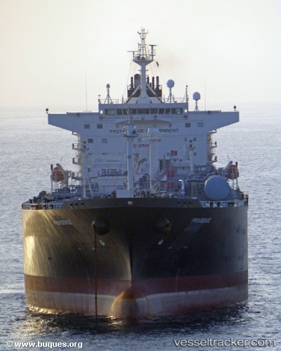
Providence
Current StatusWhere is the vessel?
Providence is currently in 11 nm W of Hulaylah Terminal, based on AIS data received less than 1h ago.
Latest AIS update:
Current position: 26.00380° N, 55.73884° E (11 nm W of Hulaylah Terminal)
Average speed (last 7 days): Loading…
Average speed (last 30 days): Loading…
Vessel profile: Providence is a Lpg Tanker with dimensions 39m x 226m.
This page combines live AIS, route history, probable destination signals, nearby traffic, and port activity for practical vessel monitoring.
The current position of vessel Providence is 26.00380 lat / 55.73884 lng. Updated: 2026-04-28 01:28:31 UTCNearest reference points:
- 13 nm NW of Hulaylah Terminal
- Near Hulaylah Terminal
- 20 nm NW of Hulaylah Terminal
Details:
Live Vessel Providence Analytics (details, animations, etc.)
Recent AIS points (UTC):
2026-04-27 21:58:29 UTC · 26.00217, 55.73624 · SOG 0 kn · COG 354°2026-04-27 22:19:31 UTC · 26.00243, 55.73690 · SOG 0.2 kn · COG 315°
2026-04-27 23:25:30 UTC · 26.00480, 55.73822 · SOG 0.1 kn · COG 232°
2026-04-28 01:28:31 UTC · 26.00380, 55.73884 · SOG 0.1 kn · COG 245°