 vesseltracker.com
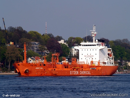
 CARIBE LUNA
Current Status
Where is the vessel?
CARIBE LUNA is currently in 12 nm NE of Miramar, based on AIS data received about 1h ago.
Latest AIS update:
Current position: 22.51091° N, 97.76641° W (12 nm NE of Miramar)
Average speed (last 7 days): Loading…
Average speed (last 30 days): Loading…
Vessel profile: CARIBE LUNA is a Oil/Chemical Tanker with dimensions m x m.
This page combines live AIS, route history, probable destination signals, nearby traffic, and port activity for practical vessel monitoring.
The current position of vessel CARIBE LUNA is 22.51091 lat / -97.76641 lng. Updated: 2026-05-14 20:07:21 UTCNearest reference points:
- 25 nm E of Tuxpan
Currently sailing under the flag of Liberia ![]()
Details:
Live Vessel CARIBE LUNA Analytics (details, animations, etc.)
Recent AIS points (UTC):
2026-05-14 16:13:25 UTC · 22.51070, -97.76634 · SOG 0 kn · COG 87°2026-05-14 17:31:22 UTC · 22.51078, -97.76636 · SOG 0 kn · COG 91°
2026-05-14 19:07:23 UTC · 22.51088, -97.76634 · SOG 0 kn · COG 97°
2026-05-14 20:07:21 UTC · 22.51091, -97.76641 · SOG 0 kn · COG 94°