 vesseltracker.com
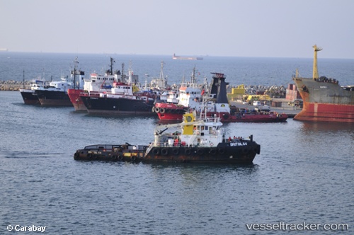
Britoil 64
Current StatusWhere is the vessel?
Britoil 64 is currently in 32 nm E of Bandar Al Mishab, based on AIS data received less than 1h ago.
Latest AIS update:
Current position: 28.15333° N, 49.30833° E (32 nm E of Bandar Al Mishab)
Average speed (last 7 days): Loading…
Average speed (last 30 days): Loading…
Vessel profile: Britoil 64 is a Tug with dimensions 11m x 40m.
This page combines live AIS, route history, probable destination signals, nearby traffic, and port activity for practical vessel monitoring.
The current position of vessel Britoil 64 is 28.15333 lat / 49.30833 lng. Updated: 2026-05-02 18:22:25 UTCNearest reference points:
- 29 nm E of Bandar Al Mishab
- 26 nm E of Bandar Al Mishab
- 41 nm NE of Ras Al Khair
Details:
Live Vessel Britoil 64 Analytics (details, animations, etc.)
Recent AIS points (UTC):
2026-05-02 15:39:29 UTC · 28.12214, 49.34808 · SOG 0.7 kn · COG 189°2026-05-02 16:45:40 UTC · 28.13118, 49.33164 · SOG 1 kn · COG 176°
2026-05-02 16:58:20 UTC · 28.13167, 49.32667 · SOG 1 kn · COG -1°
2026-05-02 18:22:25 UTC · 28.15333, 49.30833 · SOG 1 kn · COG -1°