 vesseltracker.com
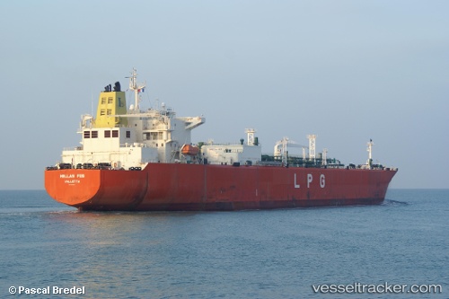
 GAS CAMELOT
Current Status
Where is the vessel?
GAS CAMELOT is currently in Open sea (no nearby ports in database), based on AIS data received about 1h ago.
Latest AIS update:
Current position: 17.79255° S, 13.44928° W (Open sea (no nearby ports in database))
Average speed (last 7 days): Loading…
Average speed (last 30 days): Loading…
Vessel profile: GAS CAMELOT is a LPG Tanker with dimensions 37m x 225m.
This page combines live AIS, route history, probable destination signals, nearby traffic, and port activity for practical vessel monitoring.
The current position of vessel GAS CAMELOT is -17.79255 lat / -13.44928 lng. Updated: 2026-04-27 15:38:27 UTCNearest reference points:
- Open sea (no nearby ports in database)
Currently sailing under the flag of Indonesia ![]()
GAS CAMELOT built in 2008 year
Deadweight:
54994 tDetails:
Live Vessel GAS CAMELOT Analytics (details, animations, etc.)
Recent AIS points (UTC):
2026-04-27 10:05:19 UTC · -18.50419, -12.16761 · SOG 15.1 kn · COG 300°2026-04-27 11:54:17 UTC · -18.26731, -12.58498 · SOG 15.1 kn · COG 300°
2026-04-27 13:43:36 UTC · -18.03498, -13.00693 · SOG 15.2 kn · COG 299°
2026-04-27 15:38:27 UTC · -17.79255, -13.44928 · SOG 15 kn · COG 299°