 vesseltracker.com
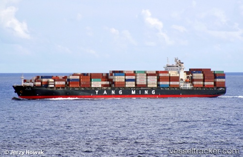
 SPIL KARTINI
Current Status
Where is the vessel?
SPIL KARTINI is currently in 15 nm N of Cilincing, based on AIS data received less than 1h ago.
Latest AIS update:
Current position: 5.84048° S, 106.93485° E (15 nm N of Cilincing)
Average speed (last 7 days): Loading…
Average speed (last 30 days): Loading…
Vessel profile: SPIL KARTINI is a Container Ship with dimensions 269m x 269m.
This page combines live AIS, route history, probable destination signals, nearby traffic, and port activity for practical vessel monitoring.
The current position of vessel SPIL KARTINI is -5.84048 lat / 106.93485 lng. Updated: 2026-05-15 11:37:09 UTCNearest reference points:
- 19 nm N of Cilincing
- Near New Priok Port
- Near Jakarta
Currently sailing under the flag of Panama ![]()
SPIL KARTINI built in 2008 year
Deadweight:
51870 tDetails:
Live Vessel SPIL KARTINI Analytics (details, animations, etc.)
Recent AIS points (UTC):
2026-05-15 07:48:18 UTC · -5.58187, 107.00327 · SOG 0.5 kn · COG 27°2026-05-15 10:23:48 UTC · -5.61338, 106.97530 · SOG 7.7 kn · COG 206°
2026-05-15 11:00:57 UTC · -5.72135, 106.94998 · SOG 11.8 kn · COG 186°
2026-05-15 11:37:09 UTC · -5.84048, 106.93485 · SOG 11.8 kn · COG 179°