 vesseltracker.com
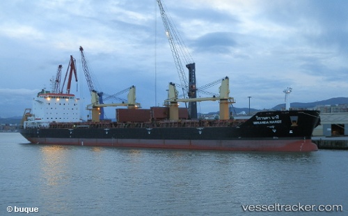
 TAI HELIOS
Current Status
Where is the vessel?
TAI HELIOS is currently in 72 nm W of Tusdeer Free Zone, based on AIS data received less than 1h ago.
Latest AIS update:
Current position: 21.52473° N, 37.85428° E (72 nm W of Tusdeer Free Zone)
Average speed (last 7 days): Loading…
Average speed (last 30 days): Loading…
Vessel profile: TAI HELIOS is a Bulk Carrier with dimensions m x m.
This page combines live AIS, route history, probable destination signals, nearby traffic, and port activity for practical vessel monitoring.
The current position of vessel TAI HELIOS is 21.52473 lat / 37.85428 lng. Updated: 2026-05-16 07:32:57 UTCNearest reference points:
- 64 nm W of Tusdeer Free Zone
- 67 nm W of Tusdeer Free Zone
- 65 nm SW of King Abdullah City
Currently sailing under the flag of Liberia ![]()
Details:
Live Vessel TAI HELIOS Analytics (details, animations, etc.)
Recent AIS points (UTC):
2026-05-16 01:03:08 UTC · 18.80906, 40.63379 · SOG 18.4 kn · COG 335°2026-05-16 01:03:08 UTC · 18.80906, 40.63379 · SOG 18.4 kn · COG 335°
2026-05-16 01:03:08 UTC · 18.80906, 40.63379 · SOG 18.4 kn · COG 335°
2026-05-16 07:32:57 UTC · 21.52473, 37.85428 · SOG 10.2 kn · COG 329°