 vesseltracker.com
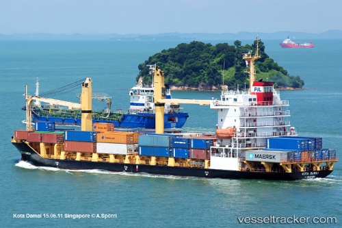
 Selatan Damai
Current Status
Where is the vessel?
Selatan Damai is currently in 38 nm NE of Langsa Venture FPSO, based on AIS data received about 2d ago.
Latest AIS update:
Current position: 5.69717° N, 98.55047° E (38 nm NE of Langsa Venture FPSO)
Average speed (last 7 days): Loading…
Average speed (last 30 days): Loading…
Vessel profile: Selatan Damai is a Container Ship with dimensions 116m x 116m.
This page combines live AIS, route history, probable destination signals, nearby traffic, and port activity for practical vessel monitoring.
The current position of vessel Selatan Damai is 5.69717 lat / 98.55047 lng. Updated: 2026-05-12 22:17:46 UTCNearest reference points:
- 18 nm E of Langsa Venture FPSO
- 45 nm N of Langsa Venture FPSO
- 34 nm N of Langsa Venture FPSO
Currently sailing under the flag of Indonesia ![]()
Selatan Damai built in 2007 year
Deadweight:
8150 tDetails:
Live Vessel Selatan Damai Analytics (details, animations, etc.)
Recent AIS points (UTC):
2026-05-12 22:17:46 UTC · 5.69717, 98.55047 · SOG 10.5 kn · COG 327°2026-05-12 22:17:46 UTC · 5.69717, 98.55047 · SOG 10.5 kn · COG 327°
2026-05-12 22:17:46 UTC · 5.69717, 98.55047 · SOG 10.5 kn · COG 327°
2026-05-12 22:17:46 UTC · 5.69717, 98.55047 · SOG 10.5 kn · COG 327°