 vesseltracker.com
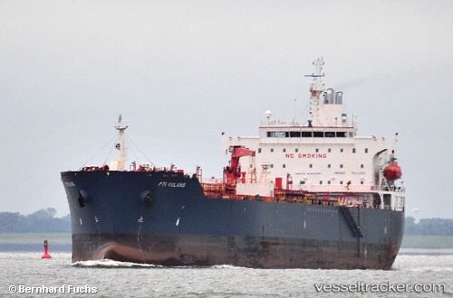
 HATAY
HATAY
Current Status
Where is the vessel?
HATAY is currently in 69 nm SW of Methoni, based on AIS data received less than 1h ago.
Latest AIS update:
Current position: 35.76934° N, 21.11276° E (69 nm SW of Methoni)
Average speed (last 7 days): Loading…
Average speed (last 30 days): Loading…
Vessel profile: HATAY is a Chemical Oil Products Tanker with dimensions 30m x 183m.
This page combines live AIS, route history, probable destination signals, nearby traffic, and port activity for practical vessel monitoring.
The current position of vessel HATAY is 35.76934 lat / 21.11276 lng. Updated: 2026-05-16 05:47:42 UTCNearest reference points:
- 23 nm S of Methoni
- 85 nm W of Paleochora
- 17 nm S of Areópolis
Currently sailing under the flag of Panama ![]()
HATAY built in 0 year
Deadweight:
0 tDetails:
Live Vessel HATAY Analytics (details, animations, etc.)
Recent AIS points (UTC):
2026-05-16 01:34:08 UTC · 35.42333, 21.97167 · SOG 11 kn · COG -1°2026-05-16 03:37:33 UTC · 35.58084, 21.54247 · SOG 11.1 kn · COG 296°
2026-05-16 04:14:52 UTC · 35.63423, 21.41637 · SOG 11.1 kn · COG 294°
2026-05-16 05:47:42 UTC · 35.76934, 21.11276 · SOG 10.7 kn · COG 294°