 vesseltracker.com
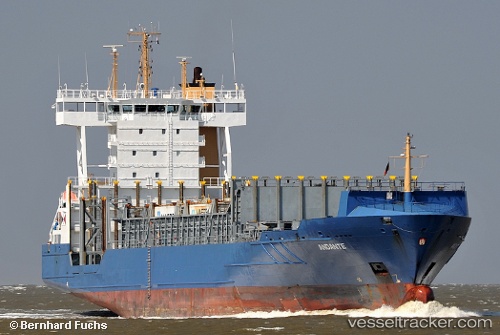
 ADMIRAL NEPTUNE
Current Status
Where is the vessel?
ADMIRAL NEPTUNE is currently in 12 nm S of Seaford, based on AIS data received less than 1h ago.
Latest AIS update:
Current position: 50.56783° N, 0.11050° E (12 nm S of Seaford)
Average speed (last 7 days): Loading…
Average speed (last 30 days): Loading…
Vessel profile: ADMIRAL NEPTUNE is a Container Ship with dimensions m x m.
This page combines live AIS, route history, probable destination signals, nearby traffic, and port activity for practical vessel monitoring.
The current position of vessel ADMIRAL NEPTUNE is 50.56783 lat / 0.11050 lng. Updated: 2026-05-15 16:39:07 UTCNearest reference points:
- 27 nm S of Seaford
- 23 nm S of Ferring
- 23 nm S of Poling
Currently sailing under the flag of Liberia ![]()
Details:
Live Vessel ADMIRAL NEPTUNE Analytics (details, animations, etc.)
Recent AIS points (UTC):
2026-05-15 13:09:19 UTC · 50.90800, 1.15950 · SOG 12 kn · COG 228°2026-05-15 13:29:38 UTC · 50.86200, 1.07933 · SOG 12.3 kn · COG 231°
2026-05-15 15:33:08 UTC · 50.62567, 0.48383 · SOG 13.3 kn · COG 255°
2026-05-15 16:39:07 UTC · 50.56783, 0.11050 · SOG 13.4 kn · COG 255°