 vesseltracker.com
 CHAMPION ROAD
Current Status
Where is the vessel?
CHAMPION ROAD is currently in 270 nm W of Tindalo Oil Field, based on AIS data received about 15h ago.
Latest AIS update:
Current position: 12.11717° N, 114.44483° E (270 nm W of Tindalo Oil Field)
Average speed (last 7 days): Loading…
Average speed (last 30 days): Loading…
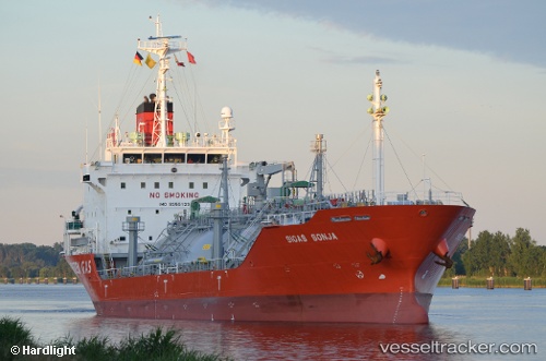
Vessel profile: CHAMPION ROAD is a Lpg Tanker with dimensions m x m.
This page combines live AIS, route history, probable destination signals, nearby traffic, and port activity for practical vessel monitoring.
The current position of vessel CHAMPION ROAD is 12.11717 lat / 114.44483 lng. Updated: 2026-04-27 23:44:29 UTCNearest reference points:
- 237 nm W of Tindalo Oil Field
- 220 nm N of Pulau Lang Lang
- 226 nm SE of Tan Cang Qui Nhon
Currently sailing under the flag of South Korea ![]()
Details:
Live Vessel CHAMPION ROAD Analytics (details, animations, etc.)
Recent AIS points (UTC):
2026-04-27 23:44:29 UTC · 12.11717, 114.44483 · SOG 13 kn · COG 64°2026-04-27 23:44:29 UTC · 12.11717, 114.44483 · SOG 13 kn · COG 64°
2026-04-27 23:44:29 UTC · 12.11717, 114.44483 · SOG 13 kn · COG 64°
2026-04-27 23:44:29 UTC · 12.11717, 114.44483 · SOG 13 kn · COG 64°