 vesseltracker.com
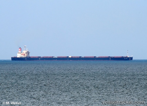
 Elettra
Current Status
Where is the vessel?
Elettra is currently in 27 nm SW of Bach Ho, based on AIS data received less than 1h ago.
Latest AIS update:
Current position: 9.50308° N, 107.68891° E (27 nm SW of Bach Ho)
Average speed (last 7 days): Loading…
Average speed (last 30 days): Loading…
Vessel profile: Elettra is a Bulk Carrier with dimensions 254m x 44m.
This page combines live AIS, route history, probable destination signals, nearby traffic, and port activity for practical vessel monitoring.
The current position of vessel Elettra is 9.50308 lat / 107.68891 lng. Updated: 2026-04-29 05:53:03 UTCNearest reference points:
- 59 nm SW of Bach Ho
- 30 nm NW of Bach Ho
- 11 nm SE of Cape St. Jacques
Currently sailing under the flag of Panama ![]()
Elettra built in 2009 year
Deadweight:
106355 tDetails:
Live Vessel Elettra Analytics (details, animations, etc.)
Recent AIS points (UTC):
2026-04-29 02:14:13 UTC · 8.96506, 108.08536 · SOG 11 kn · COG 330°2026-04-29 02:14:13 UTC · 8.96506, 108.08536 · SOG 11 kn · COG 330°
2026-04-29 04:54:34 UTC · 9.36134, 107.79020 · SOG 10.8 kn · COG 324°
2026-04-29 05:53:03 UTC · 9.50308, 107.68891 · SOG 10.4 kn · COG 325°