 vesseltracker.com
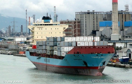
 Maersk Newport
Current Status
Where is the vessel?
Maersk Newport is currently in 17 nm W of NASSIT, based on AIS data received less than 1h ago.
Latest AIS update:
Current position: 8.47727° N, 13.52612° W (17 nm W of NASSIT)
Average speed (last 7 days): Loading…
Average speed (last 30 days): Loading…
Vessel profile: Maersk Newport is a Container Ship with dimensions 210m x 30m.
This page combines live AIS, route history, probable destination signals, nearby traffic, and port activity for practical vessel monitoring.
The current position of vessel Maersk Newport is 8.47727 lat / -13.52612 lng. Updated: 2026-03-31 06:05:00 UTCNearest reference points:
- Near NASSIT
- Near Kissy
- 28 nm S of Conakry
Currently sailing under the flag of Denmark ![]()
Maersk Newport built in 2008 year
Deadweight:
35483 tDetails:
Live Vessel Maersk Newport Analytics (details, animations, etc.)
Recent AIS points (UTC):
2026-03-30 23:50:00 UTC · 8.47535, -13.52988 · SOG 0 kn · COG 29°2026-03-31 02:15:41 UTC · 8.47667, -13.52667 · SOG 0 kn · COG -1°
2026-03-31 03:23:00 UTC · 8.47720, -13.52605 · SOG 0 kn · COG 264°
2026-03-31 06:05:00 UTC · 8.47727, -13.52612 · SOG 0.1 kn · COG 263°