 vesseltracker.com
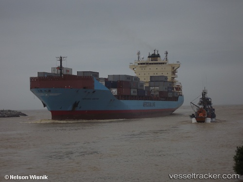
 Mercosul Santos
Current Status
Where is the vessel?
Mercosul Santos is currently in Near La Plata, based on AIS data received less than 1h ago.
Latest AIS update:
Current position: 34.71034° S, 57.89050° W (Near La Plata)
Average speed (last 7 days): Loading…
Average speed (last 30 days): Loading…
Vessel profile: Mercosul Santos is a Container Ship with dimensions 210m x 30m.
This page combines live AIS, route history, probable destination signals, nearby traffic, and port activity for practical vessel monitoring.
The current position of vessel Mercosul Santos is -34.71034 lat / -57.89050 lng. Updated: 2026-05-15 07:51:59 UTCNearest reference points:
- Near Dock Sur
- Near Avellaneda
- Near JUAN LACAZE
Currently sailing under the flag of Brazil ![]()
Mercosul Santos built in 2009 year
Deadweight:
35239 tDetails:
Live Vessel Mercosul Santos Analytics (details, animations, etc.)
Recent AIS points (UTC):
2026-05-15 04:24:31 UTC · -34.71950, -57.87982 · SOG 8.3 kn · COG 135°2026-05-15 05:42:51 UTC · -34.72900, -57.86833 · SOG 0 kn · COG 322°
2026-05-15 07:35:18 UTC · -34.72917, -57.86867 · SOG 0.4 kn · COG 307°
2026-05-15 07:51:59 UTC · -34.71034, -57.89050 · SOG 11.7 kn · COG 307°