 vesseltracker.com
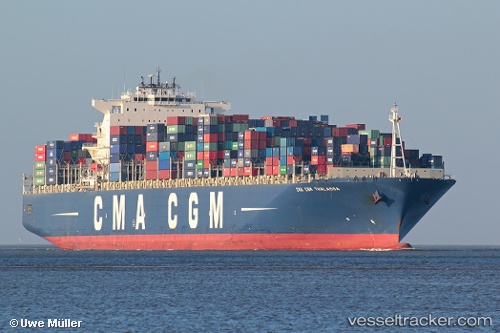
 CMA CGM THALASSA
Current Status
Where is the vessel?
CMA CGM THALASSA is currently in Open sea, approx. 440 nm off the nearest listed port, based on AIS data received less than 1h ago.
Latest AIS update:
Current position: 22.05400° S, 6.54072° E (Open sea, approx. 440 nm off the nearest listed port)
Average speed (last 7 days): Loading…
Average speed (last 30 days): Loading…
Vessel profile: CMA CGM THALASSA is a Container Ship with dimensions 347m x 44m.
This page combines live AIS, route history, probable destination signals, nearby traffic, and port activity for practical vessel monitoring.
The current position of vessel CMA CGM THALASSA is -22.054 lat / 6.54072 lng. Updated: 2026-05-02 22:37:18 UTCNearest reference points:
- Open sea, approx. 440 nm off the nearest listed port
- Open sea, approx. 442 nm off the nearest listed port
- Open sea, approx. 441 nm off the nearest listed port
Currently sailing under the flag of Malta ![]()
CMA CGM THALASSA built in 2008 year
Deadweight:
131938 tDetails:
Live Vessel CMA CGM THALASSA Analytics (details, animations, etc.)
Recent AIS points (UTC):
2026-05-02 19:15:55 UTC · -21.58790, 6.14109 · SOG 10.8 kn · COG 143°2026-05-02 19:45:16 UTC · -21.65670, 6.19728 · SOG 10.4 kn · COG 143°
2026-05-02 21:44:36 UTC · -21.93300, 6.43460 · SOG 10.7 kn · COG 143°
2026-05-02 22:37:18 UTC · -22.05400, 6.54072 · SOG 10.2 kn · COG 143°