 vesseltracker.com
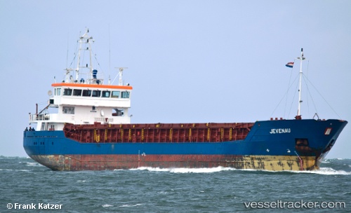
 C.POLARIS
Current Status
Where is the vessel?
C.POLARIS is currently in Near Worth Matravers, based on AIS data received about 2h ago.
Latest AIS update:
Current position: 50.48967° N, 2.17556° W (Near Worth Matravers)
Average speed (last 7 days): Loading…
Average speed (last 30 days): Loading…
Vessel profile: C.POLARIS is a General Cargo with dimensions m x m.
This page combines live AIS, route history, probable destination signals, nearby traffic, and port activity for practical vessel monitoring.
The current position of vessel C.POLARIS is 50.48967 lat / -2.17556 lng. Updated: 2026-05-14 19:51:59 UTCNearest reference points:
- Near Castletown
- Near Poole
- Near WEYMOUTH
Currently sailing under the flag of Barbados ![]()
Details:
Live Vessel C.POLARIS Analytics (details, animations, etc.)
Recent AIS points (UTC):
2026-05-14 16:32:29 UTC · 50.50699, -1.65056 · SOG 6.4 kn · COG 267°2026-05-14 18:10:30 UTC · 50.50605, -1.90182 · SOG 5.7 kn · COG 264°
2026-05-14 19:10:25 UTC · 50.49663, -2.05373 · SOG 6.1 kn · COG 266°
2026-05-14 19:51:59 UTC · 50.48967, -2.17556 · SOG 7.1 kn · COG 263°