 vesseltracker.com
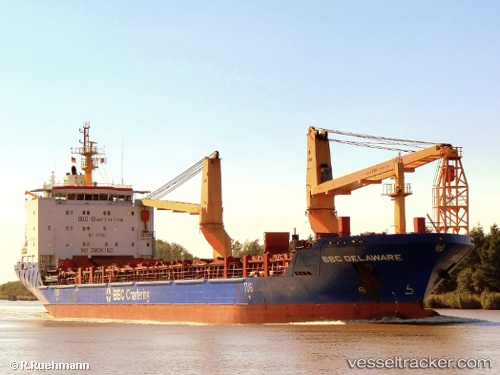
 ARALIA
Current Status
Where is the vessel?
ARALIA is currently in 29 nm N of Al Ruwais Qatar, based on AIS data received less than 1h ago.
Latest AIS update:
Current position: 26.70900° N, 51.44745° E (29 nm N of Al Ruwais Qatar)
Average speed (last 7 days): Loading…
Average speed (last 30 days): Loading…
Vessel profile: ARALIA is a General Cargo Ship with dimensions 138m x 21m.
This page combines live AIS, route history, probable destination signals, nearby traffic, and port activity for practical vessel monitoring.
The current position of vessel ARALIA is 26.70900 lat / 51.44745 lng. Updated: 2026-05-16 11:56:10 UTCNearest reference points:
- Near RAS LAFFAN
- Near KHALIFA BIN SALMAN
- Near Bahrain International Airport
Currently sailing under the flag of Liberia ![]()
ARALIA built in 2007 year
Deadweight:
12859 tDetails:
Live Vessel ARALIA Analytics (details, animations, etc.)
Recent AIS points (UTC):
2026-05-16 08:01:15 UTC · 26.70944, 51.44804 · SOG 0 kn · COG 299°2026-05-16 09:53:15 UTC · 26.70908, 51.44775 · SOG 0.1 kn · COG 317°
2026-05-16 10:28:58 UTC · 26.70886, 51.44740 · SOG 0.1 kn · COG 331°
2026-05-16 11:56:10 UTC · 26.70900, 51.44745 · SOG 0.2 kn · COG 332°