 vesseltracker.com
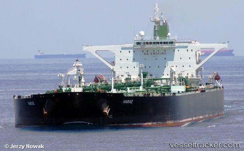
Amber
Current StatusWhere is the vessel?
Amber is currently in 21 nm N of Abu Dhabi, based on AIS data received about 4d ago.
Latest AIS update:
Current position: 24.91356° N, 54.28538° E (21 nm N of Abu Dhabi)
Average speed (last 7 days): Loading…
Average speed (last 30 days): Loading…
Vessel profile: Amber is a Vehicles Carrier with dimensions 60m x 333m.
This page combines live AIS, route history, probable destination signals, nearby traffic, and port activity for practical vessel monitoring.
The current position of vessel Amber is 24.91356 lat / 54.28538 lng. Updated: 2026-05-12 19:07:15 UTCNearest reference points:
- Near KHALIFA
- 11 nm SW of Fateh Terminal
- 16 nm NW of Jebel Ali
Details:
Live Vessel Amber Analytics (details, animations, etc.)
Recent AIS points (UTC):
2026-05-12 19:07:15 UTC · 24.91356, 54.28538 · SOG 46.8 kn · COG 79°2026-05-12 19:07:15 UTC · 24.91356, 54.28538 · SOG 46.8 kn · COG 79°
2026-05-12 19:07:15 UTC · 24.91356, 54.28538 · SOG 46.8 kn · COG 79°
2026-05-12 19:07:15 UTC · 24.91356, 54.28538 · SOG 46.8 kn · COG 79°