 vesseltracker.com
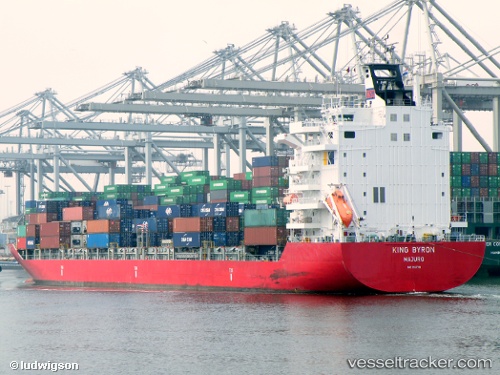
 HANSA COLOMBO
Current Status
Where is the vessel?
HANSA COLOMBO is currently in Near Westport/Port Klang, based on AIS data received about 1h ago.
Latest AIS update:
Current position: 2.93316° N, 101.29353° E (Near Westport/Port Klang)
Average speed (last 7 days): Loading…
Average speed (last 30 days): Loading…
Vessel profile: HANSA COLOMBO is a Container Ship with dimensions 183m x 182m.
This page combines live AIS, route history, probable destination signals, nearby traffic, and port activity for practical vessel monitoring.
The current position of vessel HANSA COLOMBO is 2.93316 lat / 101.29353 lng. Updated: 2026-05-15 04:32:53 UTCNearest reference points:
- Near Westport/Port Klang
- Near PORT KLANG
- Near Port Klang (Ferry Port)
Currently sailing under the flag of Marshall Islands ![]()
HANSA COLOMBO built in 2007 year
Deadweight:
24150 tDetails:
Live Vessel HANSA COLOMBO Analytics (details, animations, etc.)
Recent AIS points (UTC):
2026-05-14 22:29:52 UTC · 2.93316, 101.29353 · SOG 0 kn · COG 32°2026-05-14 23:44:53 UTC · 2.93313, 101.29354 · SOG 0 kn · COG 31°
2026-05-15 04:20:51 UTC · 2.93315, 101.29352 · SOG 0 kn · COG 32°
2026-05-15 04:32:53 UTC · 2.93316, 101.29353 · SOG 0 kn · COG 32°