 vesseltracker.com
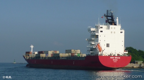
 EF EMIRA
Current Status
Where is the vessel?
EF EMIRA is currently in Near Limassol, based on AIS data received less than 1h ago.
Latest AIS update:
Current position: 34.64761° N, 33.00984° E (Near Limassol)
Average speed (last 7 days): Loading…
Average speed (last 30 days): Loading…
Vessel profile: EF EMIRA is a Container Ship with dimensions m x m.
This page combines live AIS, route history, probable destination signals, nearby traffic, and port activity for practical vessel monitoring.
The current position of vessel EF EMIRA is 34.64761 lat / 33.00984 lng. Updated: 2026-05-16 07:32:09 UTCNearest reference points:
- Near Limassol
- 17 nm S of Vasilikos
- 11 nm SE of Paphos
Currently sailing under the flag of Portugal ![]()
Details:
Live Vessel EF EMIRA Analytics (details, animations, etc.)
Recent AIS points (UTC):
2026-05-16 03:35:08 UTC · 34.64758, 33.00981 · SOG 0 kn · COG 89°2026-05-16 04:14:07 UTC · 34.64759, 33.00986 · SOG 0 kn · COG 89°
2026-05-16 05:47:07 UTC · 34.64762, 33.00984 · SOG 0 kn · COG 90°
2026-05-16 07:32:09 UTC · 34.64761, 33.00984 · SOG 0 kn · COG 90°