 vesseltracker.com
 Maria G
Current Status
Where is the vessel?
Maria G is currently in Near DUNMORE EAST, based on AIS data received less than 1h ago.
Latest AIS update:
Current position: 52.03273° N, 6.87575° W (Near DUNMORE EAST)
Average speed (last 7 days): Loading…
Average speed (last 30 days): Loading…
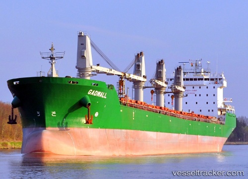
Vessel profile: Maria G is a Bulk Carrier with dimensions 200m x 200m.
This page combines live AIS, route history, probable destination signals, nearby traffic, and port activity for practical vessel monitoring.
The current position of vessel Maria G is 52.03273 lat / -6.87575 lng. Updated: 2026-05-15 21:25:56 UTCNearest reference points:
- Near WEXFORD
- Near HELVICK
- 45 nm SE of Covent Garden
Currently sailing under the flag of Malta ![]()
Maria G built in 2007 year
Deadweight:
37249 tDetails:
Live Vessel Maria G Analytics (details, animations, etc.)
Recent AIS points (UTC):
2026-05-15 17:34:55 UTC · 52.03398, -6.87601 · SOG 0.1 kn · COG 252°2026-05-15 19:25:59 UTC · 52.03333, -6.87563 · SOG 0 kn · COG 273°
2026-05-15 19:58:58 UTC · 52.03341, -6.87570 · SOG 0.1 kn · COG 265°
2026-05-15 21:25:56 UTC · 52.03273, -6.87575 · SOG 0.1 kn · COG 288°