 vesseltracker.com
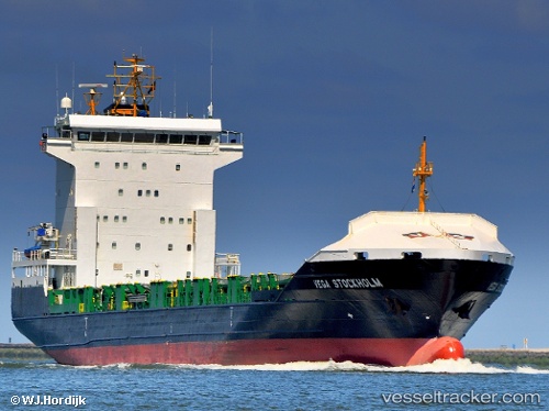
 Sunaid X
Current Status
Where is the vessel?
Sunaid X is currently in Near Torre Cesarea, based on AIS data received less than 1h ago.
Latest AIS update:
Current position: 39.94068° N, 18.55610° E (Near Torre Cesarea)
Average speed (last 7 days): Loading…
Average speed (last 30 days): Loading…
Vessel profile: Sunaid X is a Container Ship with dimensions 129m x 21m.
This page combines live AIS, route history, probable destination signals, nearby traffic, and port activity for practical vessel monitoring.
The current position of vessel Sunaid X is 39.94068 lat / 18.55610 lng. Updated: 2026-05-15 11:45:37 UTCNearest reference points:
- 11 nm S of Leuca
- 20 nm S of Leuca
- 36 nm S of Leuca
Currently sailing under the flag of Portugal ![]()
Sunaid X built in 2006 year
Deadweight:
8306 tDetails:
Live Vessel Sunaid X Analytics (details, animations, etc.)
Recent AIS points (UTC):
2026-05-15 07:38:02 UTC · 40.64448, 19.02046 · SOG 11.5 kn · COG 206°2026-05-15 10:01:01 UTC · 40.24561, 18.75513 · SOG 11.5 kn · COG 205°
2026-05-15 10:15:39 UTC · 40.20467, 18.72905 · SOG 11.7 kn · COG 204°
2026-05-15 11:45:37 UTC · 39.94068, 18.55610 · SOG 11.7 kn · COG 204°