 vesseltracker.com
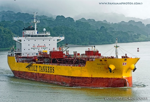
 BRAVE OCEAN
Current Status
Where is the vessel?
BRAVE OCEAN is currently in 291 nm SW of Harper, based on AIS data received less than 1h ago.
Latest AIS update:
Current position: 0.07500° S, 9.67666° W (291 nm SW of Harper)
Average speed (last 7 days): Loading…
Average speed (last 30 days): Loading…
Vessel profile: BRAVE OCEAN is a Oil/Chemical Tanker with dimensions m x m.
This page combines live AIS, route history, probable destination signals, nearby traffic, and port activity for practical vessel monitoring.
The current position of vessel BRAVE OCEAN is -0.07500 lat / -9.67666 lng. Updated: 2026-05-15 11:43:10 UTCNearest reference points:
- Open sea, approx. 400 nm off the nearest listed port
- Open sea, approx. 401 nm off the nearest listed port
- Open sea, approx. 403 nm off the nearest listed port
Currently sailing under the flag of Liberia ![]()
Details:
Live Vessel BRAVE OCEAN Analytics (details, animations, etc.)
Recent AIS points (UTC):
2026-05-15 08:10:09 UTC · -0.66833, -9.20500 · SOG 12 kn · COG -1°2026-05-15 09:22:43 UTC · -0.46866, -9.36430 · SOG 12.8 kn · COG 320°
2026-05-15 10:04:08 UTC · -0.35333, -9.45500 · SOG 12 kn · COG -1°
2026-05-15 11:43:10 UTC · -0.07500, -9.67666 · SOG 13 kn · COG -1°