 vesseltracker.com
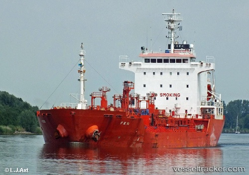
 KARADENIZ POWERSHIP AYBERK BEY
Current Status
Where is the vessel?
KARADENIZ POWERSHIP AYBERK BEY is currently in Near Lome, based on AIS data received less than 1h ago.
Latest AIS update:
Current position: 6.01640° N, 1.27863° E (Near Lome)
Average speed (last 7 days): Loading…
Average speed (last 30 days): Loading…
Vessel profile: KARADENIZ POWERSHIP AYBERK BEY is a Chemical/Oil Products Tanker with dimensions 20m x 127m.
This page combines live AIS, route history, probable destination signals, nearby traffic, and port activity for practical vessel monitoring.
The current position of vessel KARADENIZ POWERSHIP AYBERK BEY is 6.01640 lat / 1.27863 lng. Updated: 2026-05-15 19:07:25 UTCNearest reference points:
- Near Ablogamé
- Near Cotonou
- Near Kirikiri
Currently sailing under the flag of Liberia ![]()
KARADENIZ POWERSHIP AYBERK BEY built in 2006 year
Deadweight:
12934 tDetails:
Live Vessel KARADENIZ POWERSHIP AYBERK BEY Analytics (details, animations, etc.)
Recent AIS points (UTC):
2026-05-15 15:31:23 UTC · 6.01648, 1.27852 · SOG 0 kn · COG 199°2026-05-15 16:40:21 UTC · 6.01648, 1.27848 · SOG 0 kn · COG 197°
2026-05-15 17:49:22 UTC · 6.01650, 1.27833 · SOG 0.1 kn · COG 191°
2026-05-15 19:07:25 UTC · 6.01640, 1.27863 · SOG 0.2 kn · COG 208°