 vesseltracker.com
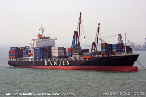
 TEH TAICHUNG
Current Status
Where is the vessel?
TEH TAICHUNG is currently in 16 nm S of ZHOUSHAN, based on AIS data received less than 1h ago.
Latest AIS update:
Current position: 29.71022° N, 122.26158° E (16 nm S of ZHOUSHAN)
Average speed (last 7 days): Loading…
Average speed (last 30 days): Loading…
Vessel profile: TEH TAICHUNG is a Container Ship with dimensions m x m.
This page combines live AIS, route history, probable destination signals, nearby traffic, and port activity for practical vessel monitoring.
The current position of vessel TEH TAICHUNG is 29.71022 lat / 122.26158 lng. Updated: 2026-05-01 07:23:18 UTCNearest reference points:
- 11 nm S of ZHOUSHAN
- 12 nm SE of ZHOUSHAN
- Near ZHOUSHAN
Currently sailing under the flag of Marshall Islands ![]()
Details:
Live Vessel TEH TAICHUNG Analytics (details, animations, etc.)
Recent AIS points (UTC):
2026-05-01 03:23:21 UTC · 29.98541, 121.84114 · SOG 0 kn · COG 330°2026-05-01 04:33:14 UTC · 29.98352, 121.83558 · SOG 5.7 kn · COG 186°
2026-05-01 05:56:30 UTC · 29.92098, 122.11116 · SOG 15.3 kn · COG 95°
2026-05-01 07:23:18 UTC · 29.71022, 122.26158 · SOG 10.8 kn · COG 118°