 vesseltracker.com
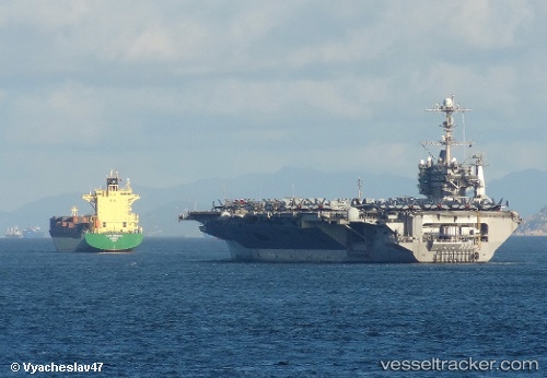
 PROTOSTAR
Current Status
Where is the vessel?
PROTOSTAR is currently in 111 nm E of Mombasa, based on AIS data received less than 1h ago.
Latest AIS update:
Current position: 4.66364° S, 41.44443° E (111 nm E of Mombasa)
Average speed (last 7 days): Loading…
Average speed (last 30 days): Loading…
Vessel profile: PROTOSTAR is a Container Ship with dimensions m x m.
This page combines live AIS, route history, probable destination signals, nearby traffic, and port activity for practical vessel monitoring.
The current position of vessel PROTOSTAR is -4.66364 lat / 41.44443 lng. Updated: 2026-05-15 03:56:42 UTCNearest reference points:
- 11 nm SE of Mombasa
- Near Mombasa
- Near Dar Es Salaam
Currently sailing under the flag of Antigua and Barbuda ![]()
Details:
Live Vessel PROTOSTAR Analytics (details, animations, etc.)
Recent AIS points (UTC):
2026-05-14 22:38:25 UTC · -4.31847, 40.41350 · SOG 11.6 kn · COG 131°2026-05-15 00:10:24 UTC · -4.43277, 40.69574 · SOG 12.4 kn · COG 117°
2026-05-15 03:21:56 UTC · -4.62930, 41.32871 · SOG 12.4 kn · COG 111°
2026-05-15 03:56:42 UTC · -4.66364, 41.44443 · SOG 12.3 kn · COG 108°