 vesseltracker.com
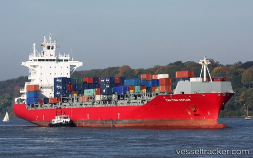
 MARINA ONE
Current Status
Where is the vessel?
MARINA ONE is currently in 61 nm NE of Tantawan Terminal, based on AIS data received less than 1h ago.
Latest AIS update:
Current position: 10.50667° N, 102.35667° E (61 nm NE of Tantawan Terminal)
Average speed (last 7 days): Loading…
Average speed (last 30 days): Loading…
Vessel profile: MARINA ONE is a Container Ship with dimensions m x m.
This page combines live AIS, route history, probable destination signals, nearby traffic, and port activity for practical vessel monitoring.
The current position of vessel MARINA ONE is 10.50667 lat / 102.35667 lng. Updated: 2026-04-30 09:30:22 UTCNearest reference points:
- 43 nm E of Benchamas
- 63 nm NW of Dai Hung (STS Load)
- Near KRONG PREAH SIHANOUK
Currently sailing under the flag of Liberia ![]()
Details:
Live Vessel MARINA ONE Analytics (details, animations, etc.)
Recent AIS points (UTC):
2026-04-30 04:27:18 UTC · 9.61833, 103.02333 · SOG 13 kn · COG -1°2026-04-30 07:51:21 UTC · 10.21333, 102.57833 · SOG 13 kn · COG -1°
2026-04-30 07:51:21 UTC · 10.21333, 102.57833 · SOG 13 kn · COG -1°
2026-04-30 09:30:22 UTC · 10.50667, 102.35667 · SOG 13 kn · COG -1°