 vesseltracker.com
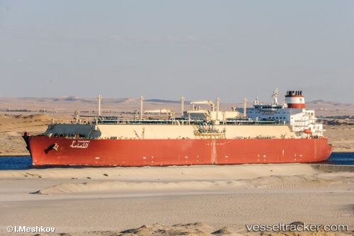
Al Thumama
Current StatusWhere is the vessel?
Al Thumama is currently in 78 nm SW of Phuket Port, based on AIS data received less than 1h ago.
Latest AIS update:
Current position: 6.62833° N, 97.86167° E (78 nm SW of Phuket Port)
Average speed (last 7 days): Loading…
Average speed (last 30 days): Loading…
Vessel profile: Al Thumama is a Lng Tanker with dimensions 49m x 315m.
This page combines live AIS, route history, probable destination signals, nearby traffic, and port activity for practical vessel monitoring.
The current position of vessel Al Thumama is 6.62833 lat / 97.86167 lng. Updated: 2026-04-27 23:45:44 UTCNearest reference points:
- 45 nm N of Langsa Venture FPSO
- 34 nm N of Langsa Venture FPSO
- 45 nm NE of Krueng Geukueh
Details:
Live Vessel Al Thumama Analytics (details, animations, etc.)
Recent AIS points (UTC):
2026-04-27 19:36:43 UTC · 6.56500, 97.85667 · SOG 1 kn · COG -1°2026-04-27 21:09:39 UTC · 6.58667, 97.85333 · SOG 1 kn · COG -1°
2026-04-27 22:00:39 UTC · 6.59833, 97.85500 · SOG 1 kn · COG -1°
2026-04-27 23:45:44 UTC · 6.62833, 97.86167 · SOG 1 kn · COG -1°