 vesseltracker.com
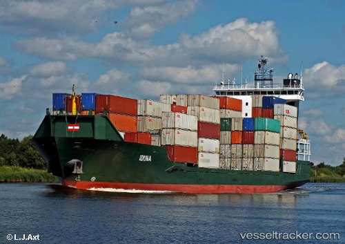
 SKYLIGHT
Current Status
Where is the vessel?
SKYLIGHT is currently in 17 nm S of Kumport, based on AIS data received about 1h ago.
Latest AIS update:
Current position: 40.67749° N, 28.86841° E (17 nm S of Kumport)
Average speed (last 7 days): Loading…
Average speed (last 30 days): Loading…
Vessel profile: SKYLIGHT is a Container Ship with dimensions 126m x 22m.
This page combines live AIS, route history, probable destination signals, nearby traffic, and port activity for practical vessel monitoring.
The current position of vessel SKYLIGHT is 40.67749 lat / 28.86841 lng. Updated: 2026-03-30 14:01:08 UTCNearest reference points:
- 17 nm S of Kumport
- 14 nm SW of Maltepe
- 16 nm S of Kumport
Currently sailing under the flag of Liberia ![]()
SKYLIGHT built in 2007 year
Deadweight:
8820 tDetails:
Live Vessel SKYLIGHT Analytics (details, animations, etc.)
Recent AIS points (UTC):
2026-03-30 07:50:29 UTC · 40.79542, 28.59090 · SOG 12.3 kn · COG 121°2026-03-30 09:23:08 UTC · 40.71478, 28.73931 · SOG 1.6 kn · COG 197°
2026-03-30 12:01:59 UTC · 40.68269, 28.81103 · SOG 1.4 kn · COG 189°
2026-03-30 14:01:08 UTC · 40.67749, 28.86841 · SOG 1.3 kn · COG 174°