 vesseltracker.com
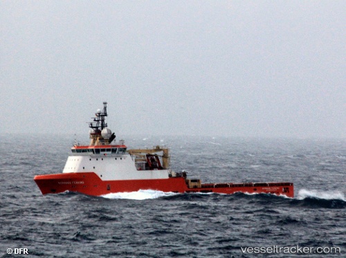
 NORMAND FERKING
Current Status
Where is the vessel?
NORMAND FERKING is currently in 13 nm SE of Santos Dumont Apt/Rio de Janeiro, based on AIS data received about 1h ago.
Latest AIS update:
Current position: 23.06892° S, 42.99562° W (13 nm SE of Santos Dumont Apt/Rio de Janeiro)
Average speed (last 7 days): Loading…
Average speed (last 30 days): Loading…
Vessel profile: NORMAND FERKING is a Anchor Handling Vessel with dimensions m x m.
This page combines live AIS, route history, probable destination signals, nearby traffic, and port activity for practical vessel monitoring.
The current position of vessel NORMAND FERKING is -23.06892 lat / -42.99562 lng. Updated: 2026-05-02 17:37:35 UTCNearest reference points:
- Near Santos Dumont Apt/Rio de Janeiro
- Near NITEROI
- Near Rio De Janeiro
Details:
Live Vessel NORMAND FERKING Analytics (details, animations, etc.)
Recent AIS points (UTC):
2026-05-02 13:51:44 UTC · -23.00770, -43.06383 · SOG 0.9 kn · COG 244°2026-05-02 16:01:26 UTC · -23.00771, -43.06383 · SOG 0.5 kn · COG 244°
2026-05-02 16:14:24 UTC · -23.00770, -43.06383 · SOG 0.7 kn · COG 244°
2026-05-02 17:37:35 UTC · -23.06892, -42.99562 · SOG 9.4 kn · COG 97°