 vesseltracker.com
 IOLE R
Current Status
Where is the vessel?
IOLE R is currently in 61 nm W of Cape Of Good Hope, based on AIS data received less than 1h ago.
Latest AIS update:
Current position: 34.70133° S, 17.21800° E (61 nm W of Cape Of Good Hope)
Average speed (last 7 days): Loading…
Average speed (last 30 days): Loading…
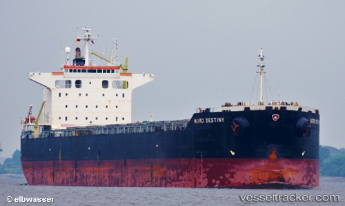
Vessel profile: IOLE R is a Bulk Carrier with dimensions m x m.
This page combines live AIS, route history, probable destination signals, nearby traffic, and port activity for practical vessel monitoring.
The current position of vessel IOLE R is -34.70133 lat / 17.21800 lng. Updated: 2026-05-14 08:26:19 UTCNearest reference points:
- 18 nm SW of Cape Of Good Hope
- 111 nm W of Kommetjie
- 12 nm W of ROBBEN ISLAND
Currently sailing under the flag of Cyprus ![]()
Details:
Live Vessel IOLE R Analytics (details, animations, etc.)
Recent AIS points (UTC):
2026-05-14 04:32:19 UTC · -34.57262, 16.35698 · SOG 10.9 kn · COG 108°2026-05-14 05:43:13 UTC · -34.61303, 16.61278 · SOG 10.9 kn · COG 107°
2026-05-14 07:59:19 UTC · -34.68933, 17.11530 · SOG 11.3 kn · COG 105°
2026-05-14 08:26:19 UTC · -34.70133, 17.21800 · SOG 11.3 kn · COG 97°