 vesseltracker.com
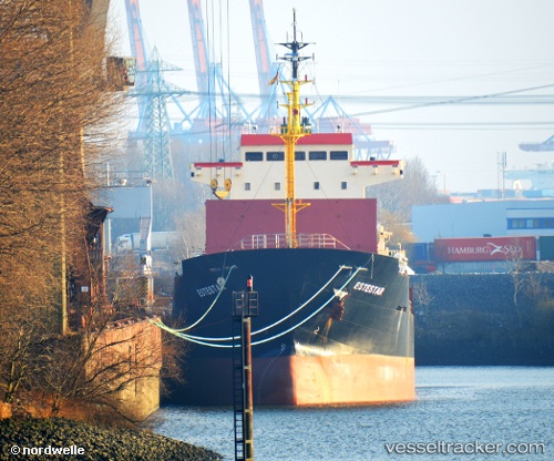
 ALEXIA I
Current Status
Where is the vessel?
ALEXIA I is currently in Near MANGALIA, based on AIS data received about 4h ago.
Latest AIS update:
Current position: 43.79833° N, 28.57333° E (Near MANGALIA)
Average speed (last 7 days): Loading…
Average speed (last 30 days): Loading…
Vessel profile: ALEXIA I is a General Cargo Ship with dimensions 133m x 133m.
This page combines live AIS, route history, probable destination signals, nearby traffic, and port activity for practical vessel monitoring.
The current position of vessel ALEXIA I is 43.79833 lat / 28.57333 lng. Updated: 2026-03-29 00:03:50 UTCNearest reference points:
- Near Shabla
- Near Constanta
- Near Ovidiu
Currently sailing under the flag of Marshall Islands ![]()
ALEXIA I built in 2005 year
Deadweight:
10887 tDetails:
Live Vessel ALEXIA I Analytics (details, animations, etc.)
Recent AIS points (UTC):
2026-03-28 20:21:49 UTC · 43.79833, 28.57333 · SOG 0 kn · COG -1°2026-03-28 22:09:49 UTC · 43.79833, 28.57333 · SOG 0 kn · COG -1°
2026-03-29 00:03:50 UTC · 43.79833, 28.57333 · SOG 0 kn · COG -1°
2026-03-29 00:03:50 UTC · 43.79833, 28.57333 · SOG 0 kn · COG -1°