 vesseltracker.com
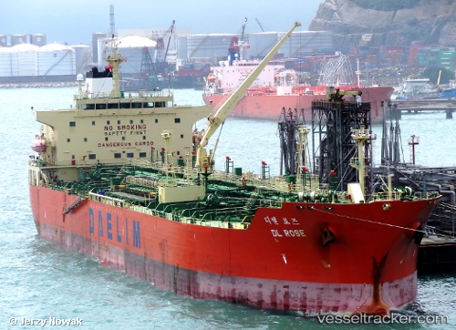
 APIASTOS
Current Status
Where is the vessel?
APIASTOS is currently in 22 nm E of Ceuta, based on AIS data received less than 1h ago.
Latest AIS update:
Current position: 35.85378° N, 4.86123° W (22 nm E of Ceuta)
Average speed (last 7 days): Loading…
Average speed (last 30 days): Loading…
Vessel profile: APIASTOS is a Oil Products Tanker with dimensions m x m.
This page combines live AIS, route history, probable destination signals, nearby traffic, and port activity for practical vessel monitoring.
The current position of vessel APIASTOS is 35.85378 lat / -4.86123 lng. Updated: 2026-05-14 18:09:22 UTCNearest reference points:
- 30 nm E of Ceuta
- Near Waterport
- Near Algeciras
Currently sailing under the flag of Liberia ![]()
Details:
Live Vessel APIASTOS Analytics (details, animations, etc.)
Recent AIS points (UTC):
2026-05-14 14:06:46 UTC · 35.78125, -4.98972 · SOG 2.7 kn · COG 274°2026-05-14 15:41:51 UTC · 35.75869, -5.01218 · SOG 7.6 kn · COG 29°
2026-05-14 16:34:51 UTC · 35.85130, -4.91735 · SOG 9.1 kn · COG 19°
2026-05-14 18:09:22 UTC · 35.85378, -4.86123 · SOG 1.2 kn · COG 3°