 vesseltracker.com
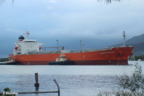
 HANSA SEALEADER
Current Status
Where is the vessel?
HANSA SEALEADER is currently in 78 nm E of FRASER ISLAND, based on AIS data received less than 1h ago.
Latest AIS update:
Current position: 25.13167° S, 154.43668° E (78 nm E of FRASER ISLAND)
Average speed (last 7 days): Loading…
Average speed (last 30 days): Loading…
Vessel profile: HANSA SEALEADER is a Oil Products Tanker with dimensions m x m.
This page combines live AIS, route history, probable destination signals, nearby traffic, and port activity for practical vessel monitoring.
The current position of vessel HANSA SEALEADER is -25.13167 lat / 154.43668 lng. Updated: 2026-05-14 06:13:32 UTCNearest reference points:
- Near HERVEY BAY
- Near Tin Can Bay
- Near NOOSAVILLE
Currently sailing under the flag of Marshall Islands ![]()
Details:
Live Vessel HANSA SEALEADER Analytics (details, animations, etc.)
Recent AIS points (UTC):
2026-05-14 01:53:28 UTC · -24.25225, 154.44690 · SOG 11.5 kn · COG 177°2026-05-14 04:01:13 UTC · -24.67110, 154.47037 · SOG 12.3 kn · COG 184°
2026-05-14 04:19:31 UTC · -24.73333, 154.46500 · SOG 12 kn · COG -1°
2026-05-14 06:13:32 UTC · -25.13167, 154.43668 · SOG 12 kn · COG -1°