 vesseltracker.com
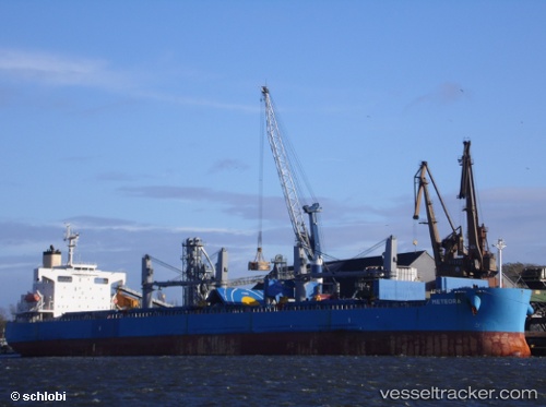
 FORTUNE GRACE I
Current Status
Where is the vessel?
FORTUNE GRACE I is currently in 33 nm NE of Krueng Geukueh, based on AIS data received about 1h ago.
Latest AIS update:
Current position: 5.68500° N, 97.36333° E (33 nm NE of Krueng Geukueh)
Average speed (last 7 days): Loading…
Average speed (last 30 days): Loading…
Vessel profile: FORTUNE GRACE I is a Bulk Carrier with dimensions m x m.
This page combines live AIS, route history, probable destination signals, nearby traffic, and port activity for practical vessel monitoring.
The current position of vessel FORTUNE GRACE I is 5.68500 lat / 97.36333 lng. Updated: 2026-05-15 22:58:00 UTCNearest reference points:
- 45 nm NE of Krueng Geukueh
- 34 nm N of Langsa Venture FPSO
- 45 nm N of Langsa Venture FPSO
Currently sailing under the flag of Marshall Islands ![]()
Details:
Live Vessel FORTUNE GRACE I Analytics (details, animations, etc.)
Recent AIS points (UTC):
2026-05-15 19:48:59 UTC · 5.81333, 96.83167 · SOG 10 kn · COG -1°2026-05-15 19:59:56 UTC · 5.80837, 96.86303 · SOG 10.2 kn · COG 94°
2026-05-15 22:00:59 UTC · 5.72667, 97.20333 · SOG 10 kn · COG -1°
2026-05-15 22:58:00 UTC · 5.68500, 97.36333 · SOG 10 kn · COG -1°