 vesseltracker.com
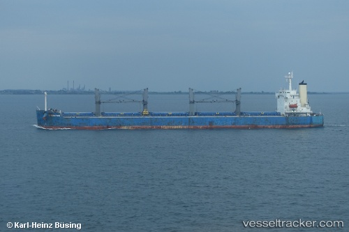
 UNITY HARMONY
Current Status
Where is the vessel?
UNITY HARMONY is currently in Near Tarahan, based on AIS data received about 1h ago.
Latest AIS update:
Current position: 5.48448° S, 105.28155° E (Near Tarahan)
Average speed (last 7 days): Loading…
Average speed (last 30 days): Loading…
Vessel profile: UNITY HARMONY is a Bulk Carrier with dimensions m x m.
This page combines live AIS, route history, probable destination signals, nearby traffic, and port activity for practical vessel monitoring.
The current position of vessel UNITY HARMONY is -5.48448 lat / 105.28155 lng. Updated: 2026-05-16 00:00:55 UTCNearest reference points:
- Near Tarahan
- 28 nm SW of Tarahan
- 29 nm SW of Tarahan
Currently sailing under the flag of Liberia ![]()
Details:
Live Vessel UNITY HARMONY Analytics (details, animations, etc.)
Recent AIS points (UTC):
2026-05-15 22:18:49 UTC · -5.48417, 105.28205 · SOG 0 kn · COG 177°2026-05-15 23:06:51 UTC · -5.48430, 105.28214 · SOG 0 kn · COG 177°
2026-05-15 23:54:18 UTC · -5.48333, 105.28167 · SOG 0 kn · COG -1°
2026-05-16 00:00:55 UTC · -5.48448, 105.28155 · SOG 0 kn · COG 151°