 vesseltracker.com
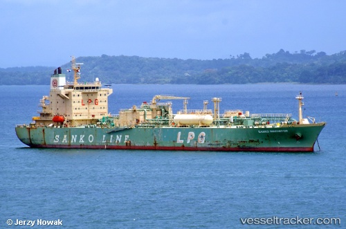
Cheshire
Current StatusWhere is the vessel?
Cheshire is currently in 20 nm NE of Santaella, based on AIS data received less than 1h ago.
Latest AIS update:
Current position: 37.79906° N, 5.16542° E (20 nm NE of Santaella)
Average speed (last 7 days): Loading…
Average speed (last 30 days): Loading…
Vessel profile: Cheshire is a Lpg Tanker with dimensions 28m x 174m.
This page combines live AIS, route history, probable destination signals, nearby traffic, and port activity for practical vessel monitoring.
The current position of vessel Cheshire is 37.79906 lat / 5.16542 lng. Updated: 2026-05-14 21:57:48 UTCNearest reference points:
- Near Carmona
- Near Bejaia
- Near Zamoranos
Details:
Live Vessel Cheshire Analytics (details, animations, etc.)
Recent AIS points (UTC):
2026-05-14 17:21:47 UTC · 37.90251, 6.40204 · SOG 13.1 kn · COG 265°2026-05-14 19:44:31 UTC · 37.84055, 5.76927 · SOG 12.6 kn · COG 266°
2026-05-14 20:02:51 UTC · 37.83503, 5.68903 · SOG 12.5 kn · COG 268°
2026-05-14 21:57:48 UTC · 37.79906, 5.16542 · SOG 13.2 kn · COG 266°