 vesseltracker.com
 MANTARO I
Current Status
Where is the vessel?
MANTARO I is currently in Near Oquendo, based on AIS data received about 600d ago.
Latest AIS update:
Current position: 11.98881° S, 77.18873° W (Near Oquendo)
Average speed (last 7 days): Loading…
Average speed (last 30 days): Loading…
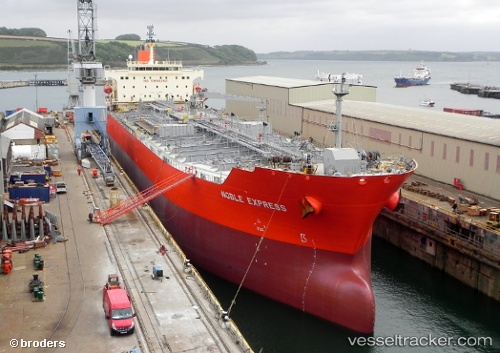
Vessel profile: MANTARO I is a Chemical/Oil Products Tanker with dimensions 32m x 183m.
This page combines live AIS, route history, probable destination signals, nearby traffic, and port activity for practical vessel monitoring.
The current position of vessel MANTARO I is -11.98881 lat / -77.18873 lng. Updated: 2024-09-22 14:23:54 UTCNearest reference points:
- Near Callao
- 43 nm SW of Barranca
- 125 nm SW of Supe Bay
Currently sailing under the flag of Panama ![]()
MANTARO I built in 2008 year
Deadweight:
51393 tDetails:
Live Vessel MANTARO I Analytics (details, animations, etc.)
Recent AIS points (UTC):
2024-09-22 14:23:54 UTC · -11.98881, -77.18873 · SOG 0.3 kn · COG 162°