 vesseltracker.com
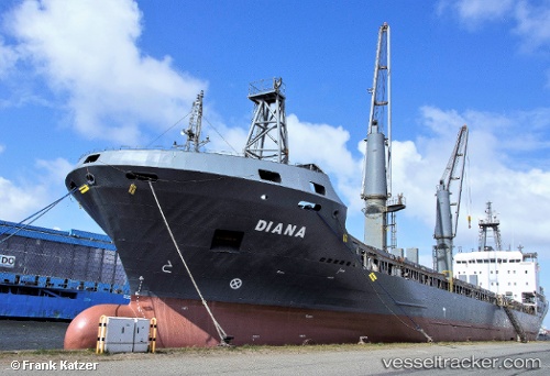
 FULMAR S
Current Status
Where is the vessel?
FULMAR S is currently in Near Bozcaada, based on AIS data received about 1h ago.
Latest AIS update:
Current position: 39.99503° N, 26.07272° E (Near Bozcaada)
Average speed (last 7 days): Loading…
Average speed (last 30 days): Loading…
Vessel profile: FULMAR S is a General Cargo with dimensions m x m.
This page combines live AIS, route history, probable destination signals, nearby traffic, and port activity for practical vessel monitoring.
The current position of vessel FULMAR S is 39.99503 lat / 26.07272 lng. Updated: 2026-05-14 02:06:26 UTCNearest reference points:
- Near Bozcaada
- 10 nm W of Akcansa
- Near Akcansa
Currently sailing under the flag of Turkey ![]()
Details:
Live Vessel FULMAR S Analytics (details, animations, etc.)
Recent AIS points (UTC):
2026-05-13 18:49:14 UTC · 39.77950, 25.98007 · SOG 0.4 kn · COG 342°2026-05-13 23:50:18 UTC · 39.76808, 25.95729 · SOG 10.2 kn · COG 250°
2026-05-13 23:50:18 UTC · 39.76808, 25.95729 · SOG 10.2 kn · COG 250°
2026-05-14 02:06:26 UTC · 39.99503, 26.07272 · SOG 8.2 kn · COG 71°