 vesseltracker.com
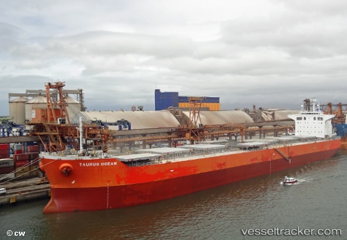
 BLUE BOSPORUS
Current Status
Where is the vessel?
BLUE BOSPORUS is currently in 47 nm SE of SHANHAIGUAN, based on AIS data received less than 1h ago.
Latest AIS update:
Current position: 39.27954° N, 120.31956° E (47 nm SE of SHANHAIGUAN)
Average speed (last 7 days): Loading…
Average speed (last 30 days): Loading…
Vessel profile: BLUE BOSPORUS is a Bulk Carrier with dimensions m x m.
This page combines live AIS, route history, probable destination signals, nearby traffic, and port activity for practical vessel monitoring.
The current position of vessel BLUE BOSPORUS is 39.27954 lat / 120.31956 lng. Updated: 2026-05-14 06:26:21 UTCNearest reference points:
- 45 nm NW of Lushun New Pt
- 37 nm SE of SHANHAIGUAN
- 42 nm NW of Lushun New Pt
Currently sailing under the flag of Cyprus ![]()
Details:
Live Vessel BLUE BOSPORUS Analytics (details, animations, etc.)
Recent AIS points (UTC):
2026-05-14 01:49:51 UTC · 38.57003, 121.00467 · SOG 12 kn · COG 289°2026-05-14 03:41:02 UTC · 38.86520, 120.71497 · SOG 11.7 kn · COG 309°
2026-05-14 04:27:43 UTC · 38.98609, 120.59542 · SOG 11.5 kn · COG 331°
2026-05-14 06:26:21 UTC · 39.27954, 120.31956 · SOG 10.6 kn · COG 315°