 vesseltracker.com
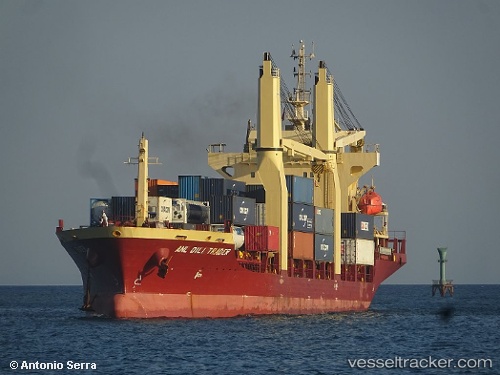
 MERATUS PANGKALPINANG
Current Status
Where is the vessel?
MERATUS PANGKALPINANG is currently in 21 nm N of Pamekasan, based on AIS data received about 2h ago.
Latest AIS update:
Current position: 6.81667° S, 113.53667° E (21 nm N of Pamekasan)
Average speed (last 7 days): Loading…
Average speed (last 30 days): Loading…
Vessel profile: MERATUS PANGKALPINANG is a General Cargo Ship with dimensions 117m x 20m.
This page combines live AIS, route history, probable destination signals, nearby traffic, and port activity for practical vessel monitoring.
The current position of vessel MERATUS PANGKALPINANG is -6.81667 lat / 113.53667 lng. Updated: 2026-05-16 07:51:42 UTCNearest reference points:
- 30 nm NW of Sumenep
- 11 nm W of Madura Terminal
- 25 nm NE of Camar Marine Terminal
Currently sailing under the flag of Indonesia ![]()
MERATUS PANGKALPINANG built in 2007 year
Deadweight:
7853 tDetails:
Live Vessel MERATUS PANGKALPINANG Analytics (details, animations, etc.)
Recent AIS points (UTC):
2026-05-16 04:42:47 UTC · -6.81333, 113.96833 · SOG 8 kn · COG -1°2026-05-16 06:03:45 UTC · -6.81833, 113.77500 · SOG 8 kn · COG -1°
2026-05-16 07:39:43 UTC · -6.81667, 113.56167 · SOG 7 kn · COG -1°
2026-05-16 07:51:42 UTC · -6.81667, 113.53667 · SOG 7 kn · COG -1°