 vesseltracker.com
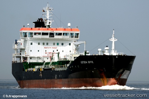
 THOMAS B
Current Status
Where is the vessel?
THOMAS B is currently in Near Callao, based on AIS data received less than 1h ago.
Latest AIS update:
Current position: 11.99961° S, 77.19347° W (Near Callao)
Average speed (last 7 days): Loading…
Average speed (last 30 days): Loading…
Vessel profile: THOMAS B is a Oil/Chemical Tanker with dimensions m x m.
This page combines live AIS, route history, probable destination signals, nearby traffic, and port activity for practical vessel monitoring.
The current position of vessel THOMAS B is -11.99961 lat / -77.19347 lng. Updated: 2026-05-15 08:06:35 UTCNearest reference points:
- Near Callao
- 43 nm SW of Barranca
- 125 nm SW of Supe Bay
Details:
Live Vessel THOMAS B Analytics (details, animations, etc.)
Recent AIS points (UTC):
2026-05-15 04:16:35 UTC · -11.92360, -77.15554 · SOG 0.2 kn · COG 221°2026-05-15 05:44:05 UTC · -11.91525, -77.17918 · SOG 5 kn · COG 283°
2026-05-15 07:21:47 UTC · -12.00055, -77.19325 · SOG 0.2 kn · COG 81°
2026-05-15 08:06:35 UTC · -11.99961, -77.19347 · SOG 0.5 kn · COG 127°