 vesseltracker.com
 ATA OCEAN
Current Status
Where is the vessel?
ATA OCEAN is currently in Near AEGINA BOATYARD, based on AIS data received less than 1h ago.
Latest AIS update:
Current position: 37.85113° N, 23.41837° E (Near AEGINA BOATYARD)
Average speed (last 7 days): Loading…
Average speed (last 30 days): Loading…
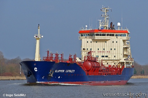
Vessel profile: ATA OCEAN is a Oil/Chemical Tanker with dimensions m x m.
This page combines live AIS, route history, probable destination signals, nearby traffic, and port activity for practical vessel monitoring.
The current position of vessel ATA OCEAN is 37.85113 lat / 23.41837 lng. Updated: 2026-05-15 05:38:08 UTCNearest reference points:
- Near AEGINA BOATYARD
- Near PERDIKA
- Near PERAMA
Currently sailing under the flag of Barbados ![]()
Details:
Live Vessel ATA OCEAN Analytics (details, animations, etc.)
Recent AIS points (UTC):
2026-05-15 01:01:29 UTC · 37.27988, 23.65187 · SOG 10.3 kn · COG 14°2026-05-15 04:02:19 UTC · 37.77105, 23.68910 · SOG 9.8 kn · COG 335°
2026-05-15 04:17:39 UTC · 37.80870, 23.66604 · SOG 9.8 kn · COG 335°
2026-05-15 05:38:08 UTC · 37.85113, 23.41837 · SOG 10 kn · COG 287°