 vesseltracker.com
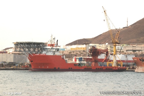
 PRINCE JAMESON I
Current Status
Where is the vessel?
PRINCE JAMESON I is currently in Near Onne, based on AIS data received less than 1h ago.
Latest AIS update:
Current position: 4.69466° N, 7.16948° E (Near Onne)
Average speed (last 7 days): Loading…
Average speed (last 30 days): Loading…
Vessel profile: PRINCE JAMESON I is a Offshore Tug/Supply Ship with dimensions 20m x 88m.
This page combines live AIS, route history, probable destination signals, nearby traffic, and port activity for practical vessel monitoring.
The current position of vessel PRINCE JAMESON I is 4.69466 lat / 7.16948 lng. Updated: 2026-05-14 13:45:27 UTCNearest reference points:
- Near Onne
- Near Port Harcourt
- Near Bonny
Currently sailing under the flag of Nigeria ![]()
PRINCE JAMESON I built in 2008 year
Deadweight:
4811 tDetails:
Live Vessel PRINCE JAMESON I Analytics (details, animations, etc.)
Recent AIS points (UTC):
2026-05-14 10:09:27 UTC · 4.69454, 7.16961 · SOG 0 kn · COG 100°2026-05-14 10:39:43 UTC · 4.69449, 7.16937 · SOG 0 kn · COG 101°
2026-05-14 11:36:27 UTC · 4.69454, 7.16944 · SOG 0 kn · COG 100°
2026-05-14 13:45:27 UTC · 4.69466, 7.16948 · SOG 0 kn · COG 100°