 vesseltracker.com
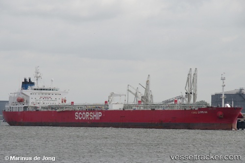
 MAMMA MARIA
Current Status
Where is the vessel?
MAMMA MARIA is currently in 36 nm E of Martil, based on AIS data received less than 1h ago.
Latest AIS update:
Current position: 35.63833° N, 4.53333° W (36 nm E of Martil)
Average speed (last 7 days): Loading…
Average speed (last 30 days): Loading…
Vessel profile: MAMMA MARIA is a Crude Oil Tanker with dimensions m x m.
This page combines live AIS, route history, probable destination signals, nearby traffic, and port activity for practical vessel monitoring.
The current position of vessel MAMMA MARIA is 35.63833 lat / -4.53333 lng. Updated: 2026-04-23 21:39:41 UTCNearest reference points:
- 30 nm E of Ceuta
- 31 nm SE of Fuengirola
- Near Waterport
Currently sailing under the flag of Liberia ![]()
Details:
Live Vessel MAMMA MARIA Analytics (details, animations, etc.)
Recent AIS points (UTC):
2026-04-23 17:18:41 UTC · 35.66167, -4.57167 · SOG 0 kn · COG -1°2026-04-23 19:45:52 UTC · 35.65222, -4.53711 · SOG 0.7 kn · COG 133°
2026-04-23 19:58:42 UTC · 35.65025, -4.53493 · SOG 0.7 kn · COG 128°
2026-04-23 21:39:41 UTC · 35.63833, -4.53333 · SOG 0 kn · COG -1°