 vesseltracker.com
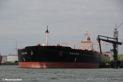
 OCEAN LOYALTY
Current Status
Where is the vessel?
OCEAN LOYALTY is currently in 105 nm E of MASIRAH, based on AIS data received less than 1h ago.
Latest AIS update:
Current position: 20.53418° N, 60.72621° E (105 nm E of MASIRAH)
Average speed (last 7 days): Loading…
Average speed (last 30 days): Loading…
Vessel profile: OCEAN LOYALTY is a Crude Oil Tanker with dimensions m x m.
This page combines live AIS, route history, probable destination signals, nearby traffic, and port activity for practical vessel monitoring.
The current position of vessel OCEAN LOYALTY is 20.53418 lat / 60.72621 lng. Updated: 2026-04-26 09:25:15 UTCNearest reference points:
- 90 nm SE of SUR
- 120 nm E of SUR
- 96 nm E of SUR
Currently sailing under the flag of Marshall Islands ![]()
Details:
Live Vessel OCEAN LOYALTY Analytics (details, animations, etc.)
Recent AIS points (UTC):
2026-04-26 05:51:51 UTC · 19.68569, 60.77724 · SOG 14.3 kn · COG 356°2026-04-26 07:33:04 UTC · 20.09231, 60.75943 · SOG 14.4 kn · COG 356°
2026-04-26 07:37:58 UTC · 20.11193, 60.75820 · SOG 14.4 kn · COG 355°
2026-04-26 09:25:15 UTC · 20.53418, 60.72621 · SOG 14.1 kn · COG 357°